


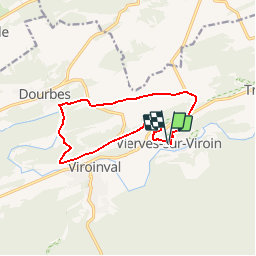


8.9 km | 12.7 km-effort
Randonnées au coeur d'une nature préservée GUIDE+


FREE GPS app for hiking
 SityTrail
IGN / Geographical institutes
SityTrail World
The world is yours!
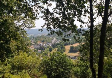
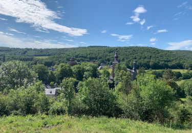
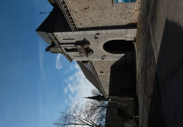
Trail Walking of 10.5 km to be discovered at Wallonia, Namur, Viroinval. This trail is proposed by La Forêt du Pays de Chimay.
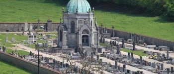
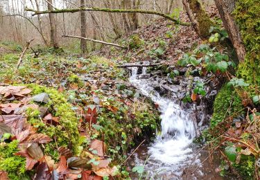
 - La Rouge Croix (The Red Cross) - Photo 1")
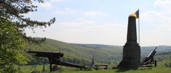
 - La Rouge Croix (The Red Cross) - Photo 2")
Walking

Walking

Walking

Walking
Walking
Mountain bike

Nordic walking
Walking

Walking
goed begaanbare wegen, goed aangeduid, klein verschil tussen de pijltjes en de app kort na de start -> volg de pijltjes. mooie uitzichten, gevarieerde landschappen, gezellig dorpje. april 2018