


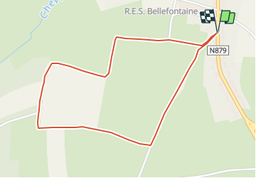

14.6 km | 17 km-effort


Randonnées du CGT GUIDE+


FREE GPS app for hiking
 SityTrail
IGN / Geographical institutes
SityTrail World
The world is yours!
Trail On foot of 2.2 km to be discovered at Wallonia, Luxembourg, Tintigny. This trail is proposed by Commissariat général au Tourisme.
Trail created by Gaume.
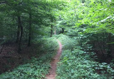
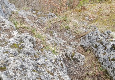
Welcome to the locality of the Tour des Tagettes. Although the exact origin of this name is not known, there are some theories on the subject. The most likely suggests that the word “Tour” was originally “Cour” meaning a home in Roman times. The word would have evolved over the centuries. When it comes to the "des Tagettes” part, it’s more complicated. It could be a family name or a nickname, but this is just a theory and has not yet been proven. The Tour des Tagettes therefore maintains all its mystery…
Want more? Find this walk in our folder “ The Bucolic Walks” to be discovered in our GaumeShop!


Walking
Walking

Walking

Walking
Walking
On foot

Walking
Walking

Walking