


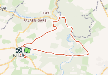

18.3 km | 24 km-effort


Randonnées du CGT GUIDE+


FREE GPS app for hiking
 SityTrail
IGN / Geographical institutes
SityTrail World
The world is yours!
Trail On foot of 9.1 km to be discovered at Wallonia, Namur, Onhaye. This trail is proposed by Commissariat général au Tourisme.
Trail created by Vallée de la Meuse Namur-Dinant.
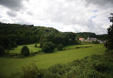
Walk starting from Falaën, one of the most beautiful villages in Wallonia.
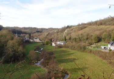
Very beautiful circuit between fields, forests and small rivers and very few roads. Possibility to visit the ruins of the castle of Montaigle, an exceptional site in a romantic setting.


Walking

Walking

Walking

Walking
Walking

Walking

Walking

Walking
Walking
magnifique balade depuis Falaën jusqu'à Montaigle, on a découvert l'ancienne forteresse de Montaigle. Ensuite on reprend le chemin mais la balade nous fait passer par une portion de chemin privé, gênant.... Ça monte et ça descend assez fort pour rejoindre Falaën, un peu de bois, des champs, tout ce qu'il faut quoi :)