


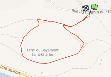

7.8 km | 9.9 km-effort

Randonnées du CGT GUIDE+


FREE GPS app for hiking
 SityTrail
IGN / Geographical institutes
SityTrail World
The world is yours!
Trail On foot of 1.1 km to be discovered at Wallonia, Hainaut, Charleroi. This trail is proposed by Commissariat général au Tourisme.
Trail created by Pays de Charleroi.
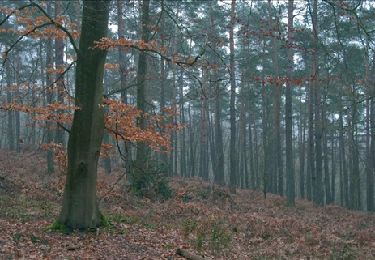
This small, generally comfortable route climbs gently up to the slag heap's intermediate plateau to reveal a view of a former settling pit that is now covered with reeds.
The trail continues up a gentle slope to the top where you will discover a breath-taking view of the slag heap chain and the steelworks at Marchienne-au-Pont and Marcinelle.
The tour ends with a pleasant walk around the settling pit, where you can enjoy different perspectives of the surrounding area.


Walking

Walking

Walking
Walking

Walking

Walking
Walking
Walking
Walking