


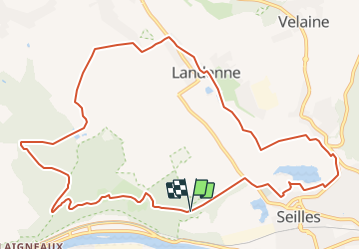

17.8 km | 23 km-effort

Randonnées du CGT GUIDE+


FREE GPS app for hiking
 SityTrail
IGN / Geographical institutes
SityTrail World
The world is yours!
Trail On foot of 11.8 km to be discovered at Wallonia, Namur, Andenne. This trail is proposed by Commissariat général au Tourisme.
Trail created by Vallée de la Meuse Namur-Dinant.
This 11.8km walk takes you to the discovery of the Sclaigneaux Nature Reserve and the village of Landenne.
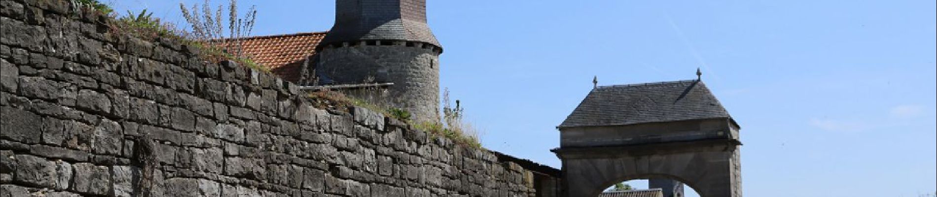
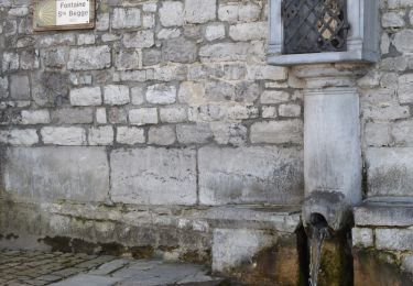
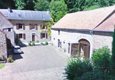
Classified site and NATURA 2000 zone, the Reserve impresses by its wild beauty and by the variety of the ecosystems which it gathers on a rather restricted surface ( /- 50 ha). During your walk, you will observe 3 ecosystems: the heather moor, the limestone lawns and the forest. Once out of the limits of the Reserve, you arrive in the bottom of the valley of the Loysse. You go up its course until its intersection with a small path in the direction of Vezin towards the old Bure Saint-Remy. You continue through the woods to the former Collignon castle, now transformed into the Chant d'Oiseaux educational farm. You continue through the fields to reach the village of Landenne. In the streets of the village, you will come across the pretty little chapel of Saint-Mort and the church of Saint-Rémy. You walk along several beautiful farms before reaching a path in the middle of the fields that leads you to the Seilles quarry, which you pass. You then pass the charming Saint-Etienne Church, one of the 5 Romanesque churches of Andenne. After the church, you go around the cemetery and return to the access road of the Reserve to your starting point.


Walking

Walking

Walking

Walking

Walking

Walking
Walking

Mountain bike

Mountain bike