


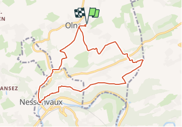

13.4 km | 17.5 km-effort

« L’heure de la fin des découvertes ne sonne jamais. » Colette GUIDE+


FREE GPS app for hiking
 SityTrail
IGN / Geographical institutes
SityTrail World
The world is yours!
Trail Walking of 8.8 km to be discovered at Wallonia, Liège, Olne. This trail is proposed by Au fil de nos découvertes.
🌳
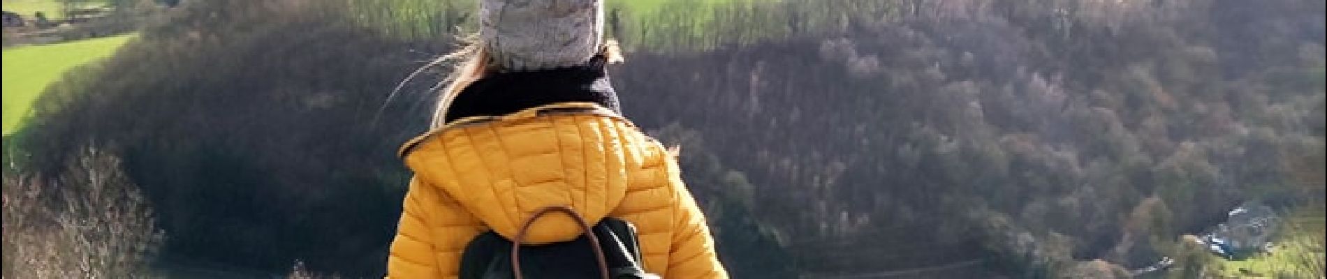
De magnifiques panoramas ! ❤️😱
🅿️ Départ et Parking:
Centre de Sports et de Loisirs d'Olne
Chemin des Ecoliers 5,
4877 Olne
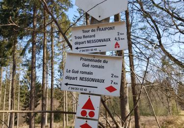
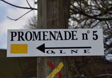
▶️ Suivre la balise "rectangle jaune"
🥾 Prévoir de bonnes chaussures de marche.
Les chemins peuvent être boueux et glissants
🌲🌳
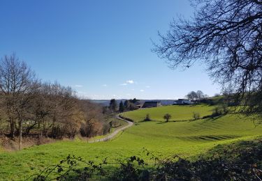
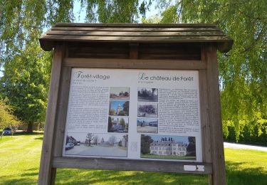
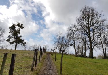
Au départ de Olne, un des plus beaux villages de Wallonie, cette promenade vous emmène dans les campagnes et vous offre de jolis panoramas.
Passez sous la girafe, continuez quelques mètres et vous arriverez à un magnifique point de vue. 😱😍
Quelques grimpettes viendront agrémenter la promenade, mais la beauté de cette randonnée, vous fera vite oublier les efforts! 👌
Possibilités de pique-niquer. 🥪🍴
Chiens autorisés en laisse. 🐩🐶🐕
Convient pour les enfants . 👱👱♂️
Ne convient pas pour les poussettes et personnes à mobilité réduite. 👨🦽👩🦽👶
N'hésitez pas à aller faire un tour sur notre site internet et nos réseaux :
www.aufildenosdecouvertes.com
www.facebook.com/aufildenosdecouvertes
https://www.instagram.com/au_fil_de_nos_decouvertes/


Walking


Walking
Walking

Walking
Walking
Walking
Walking
Walking
Une superbe balade 🤩